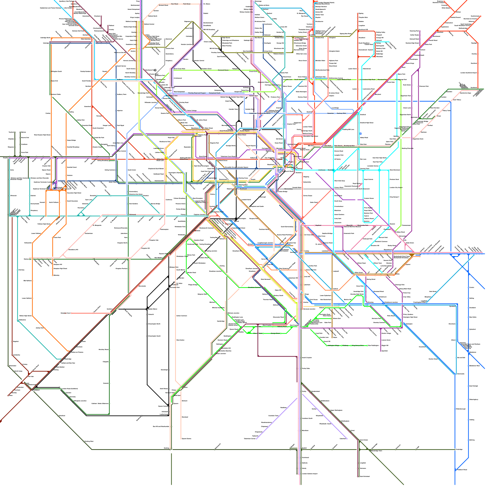
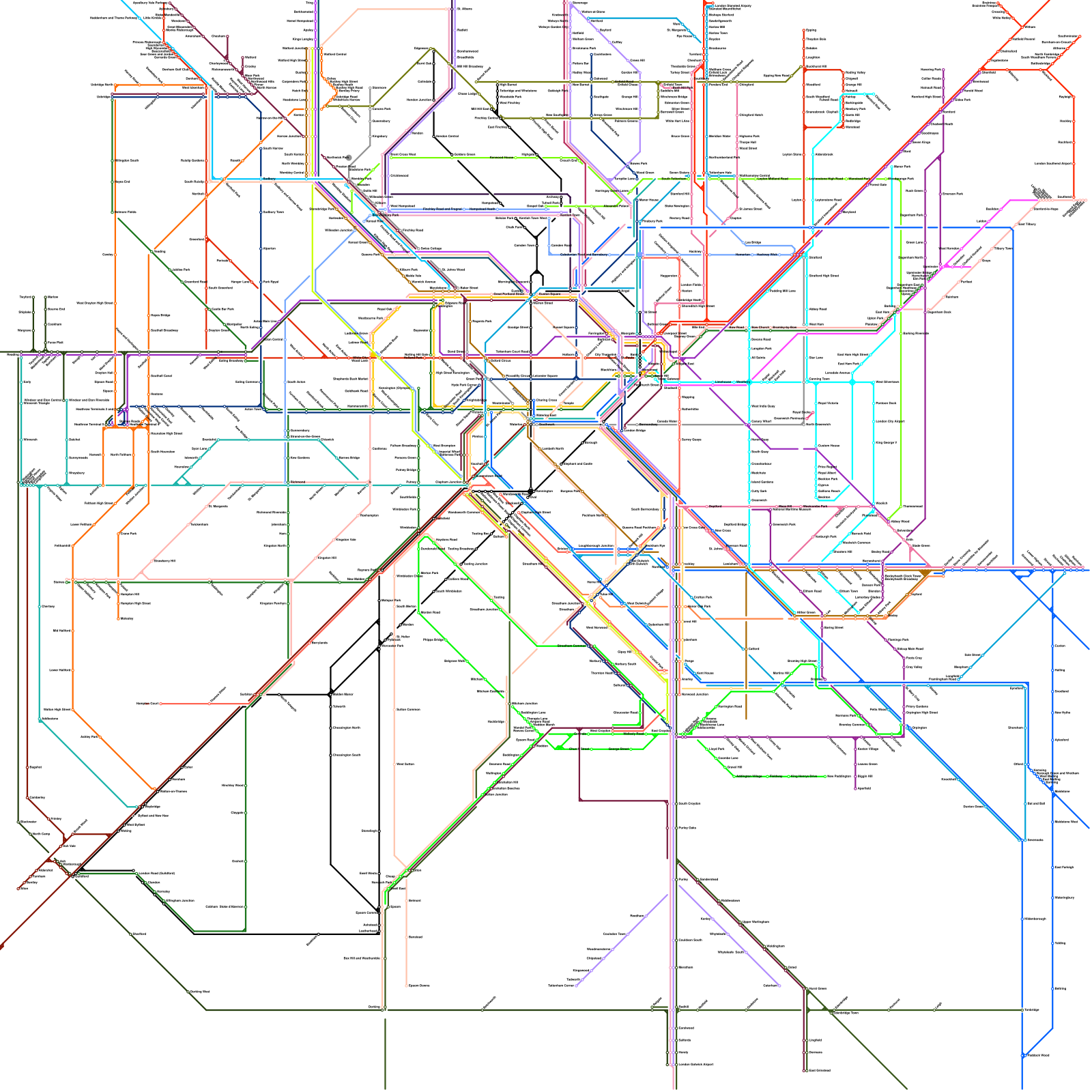
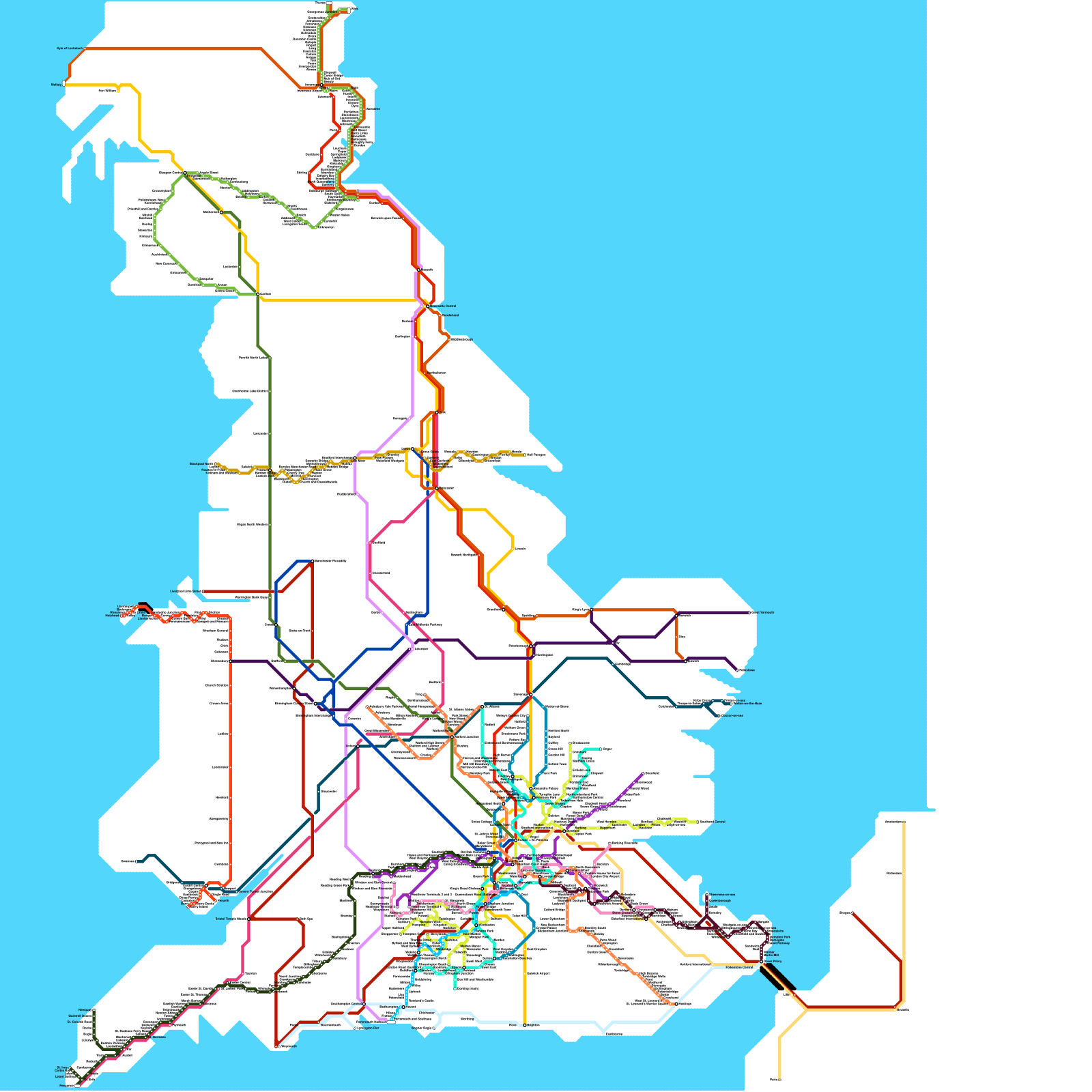
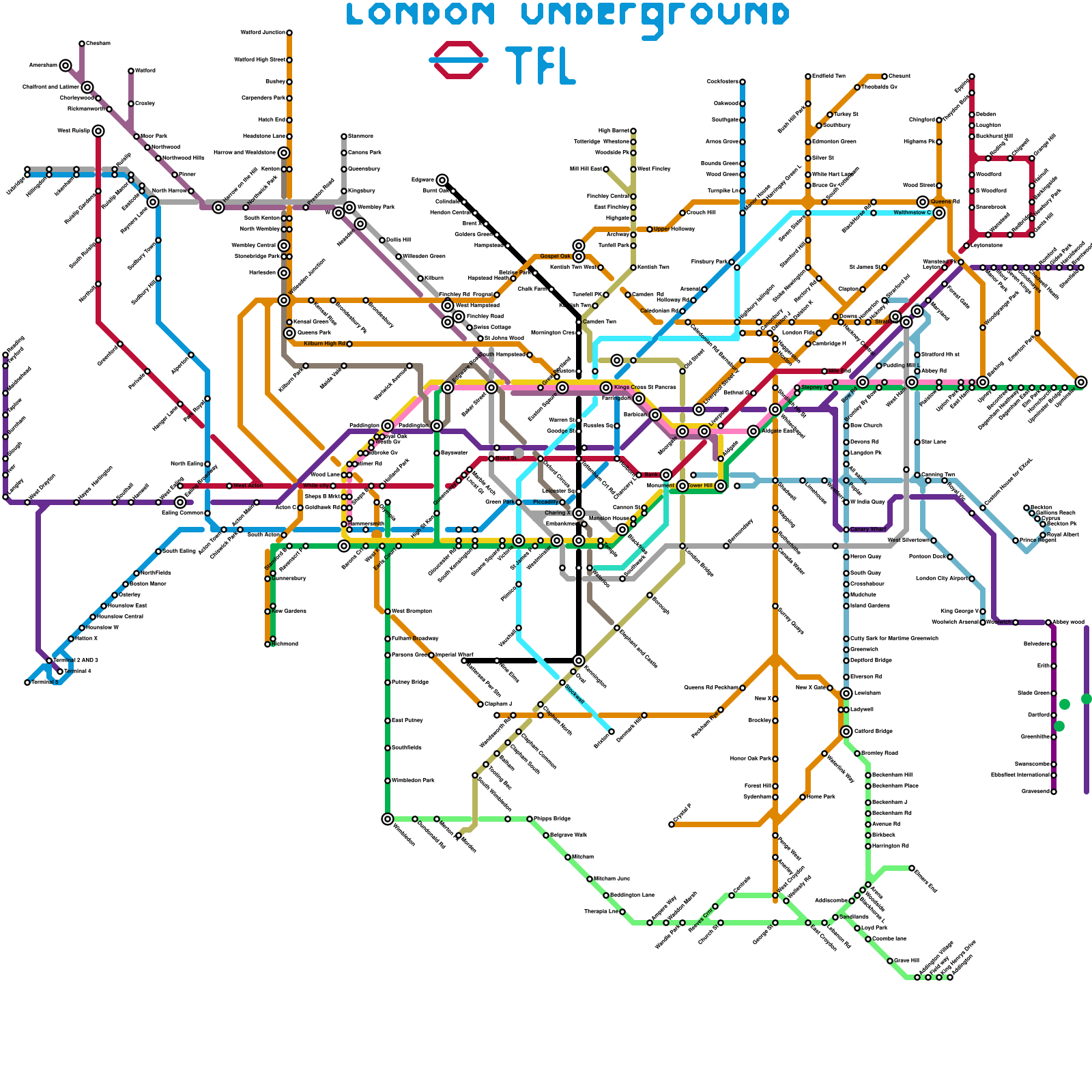
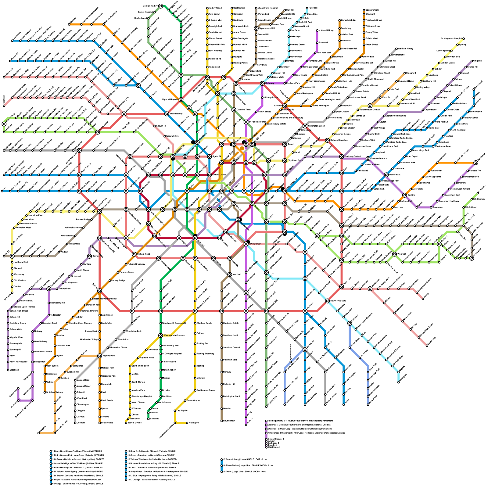
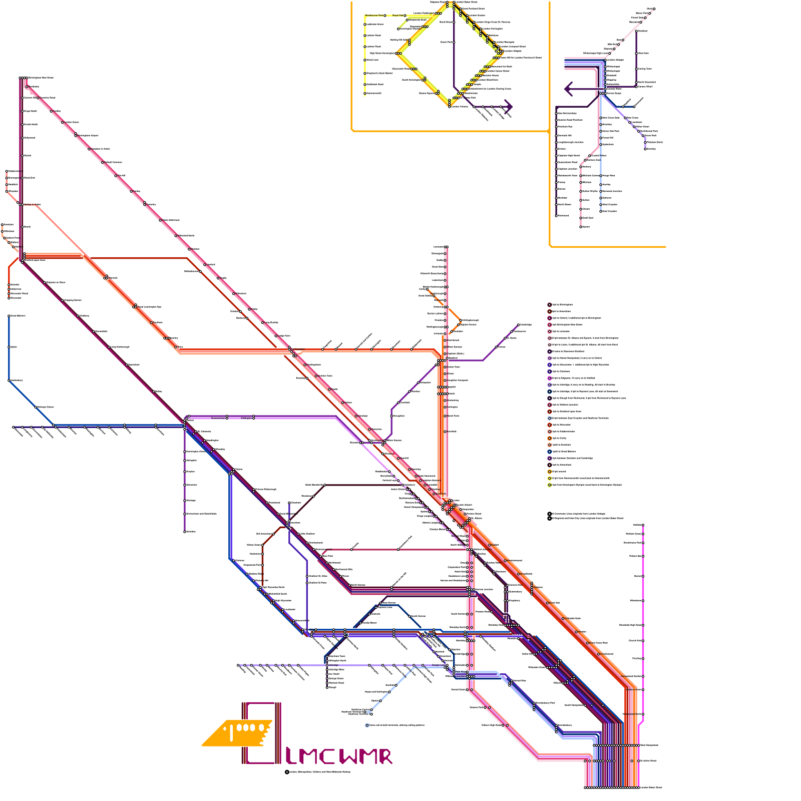
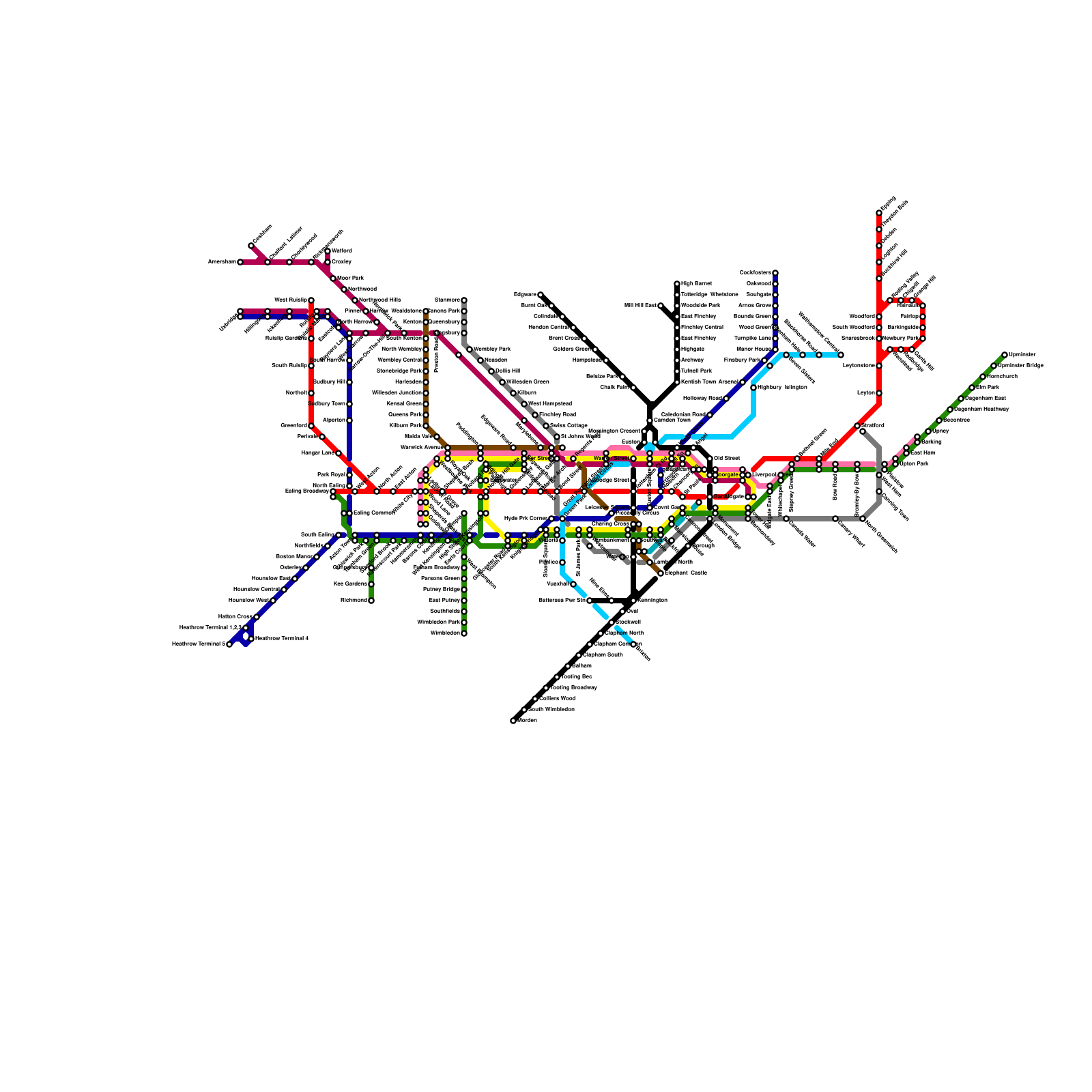
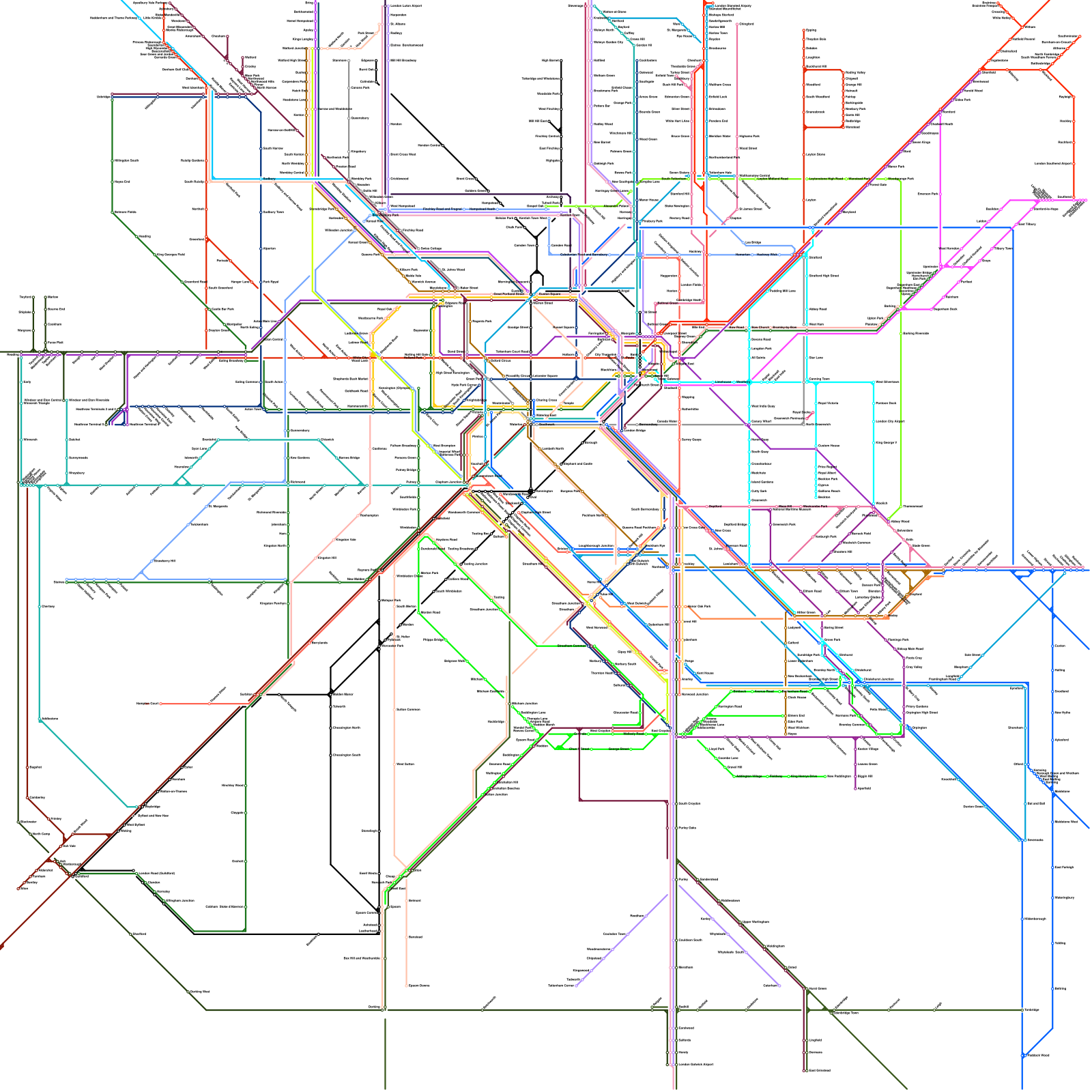
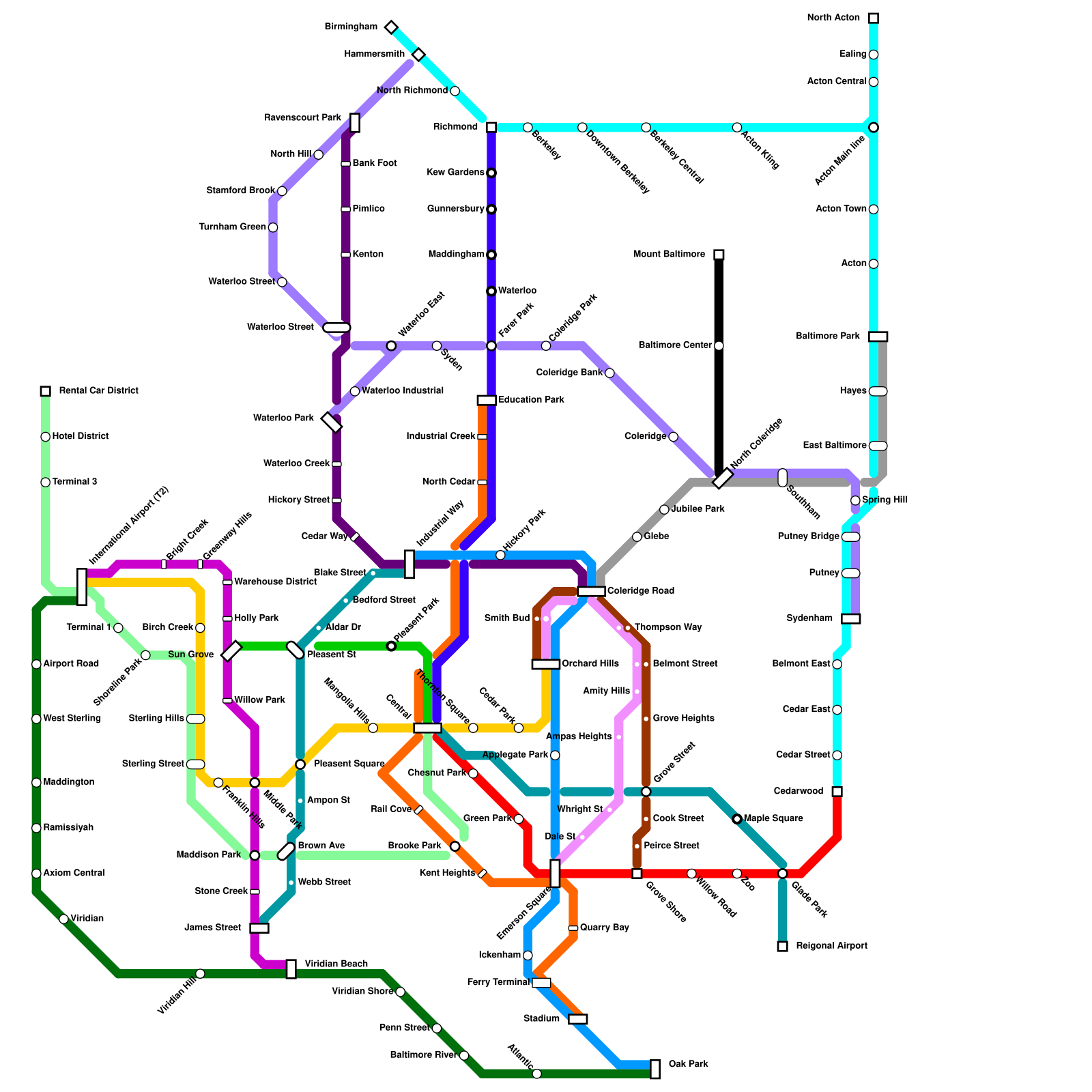
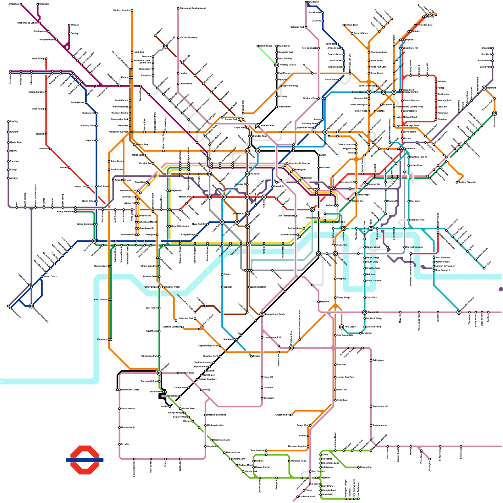
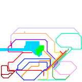
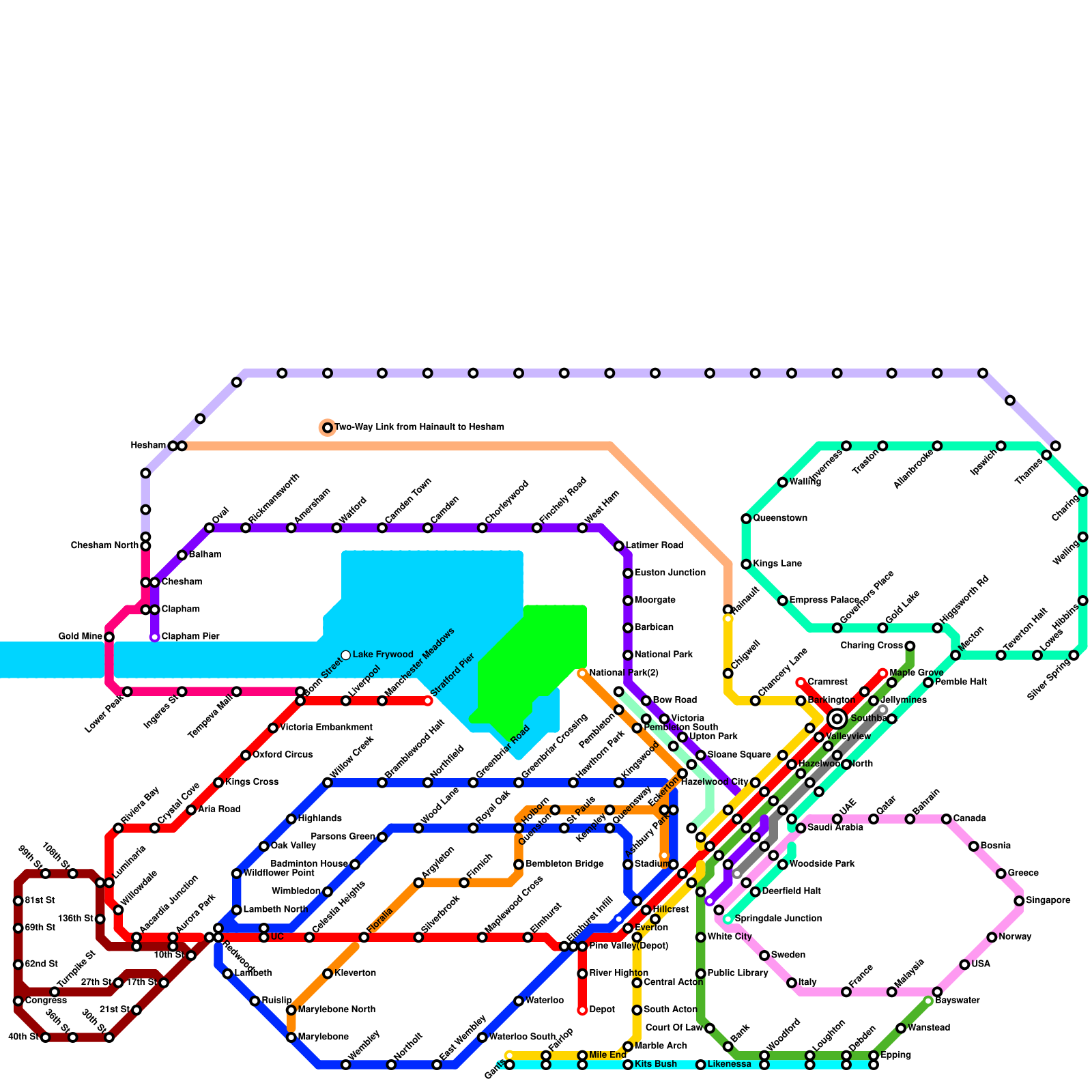
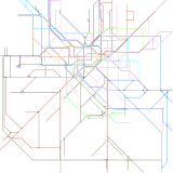
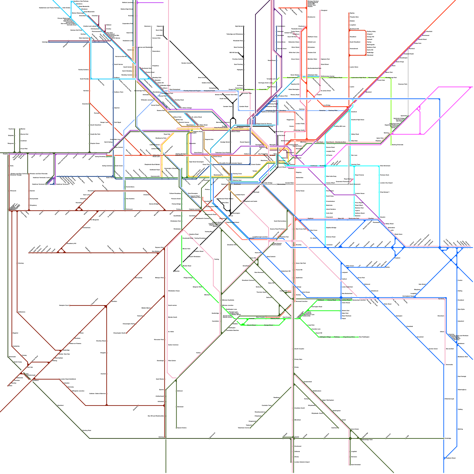
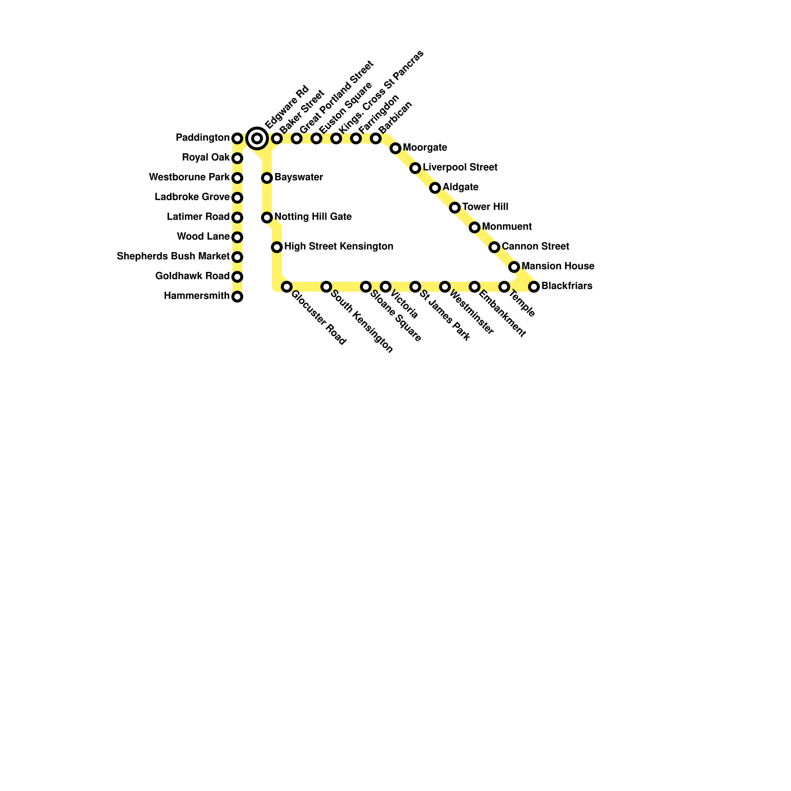
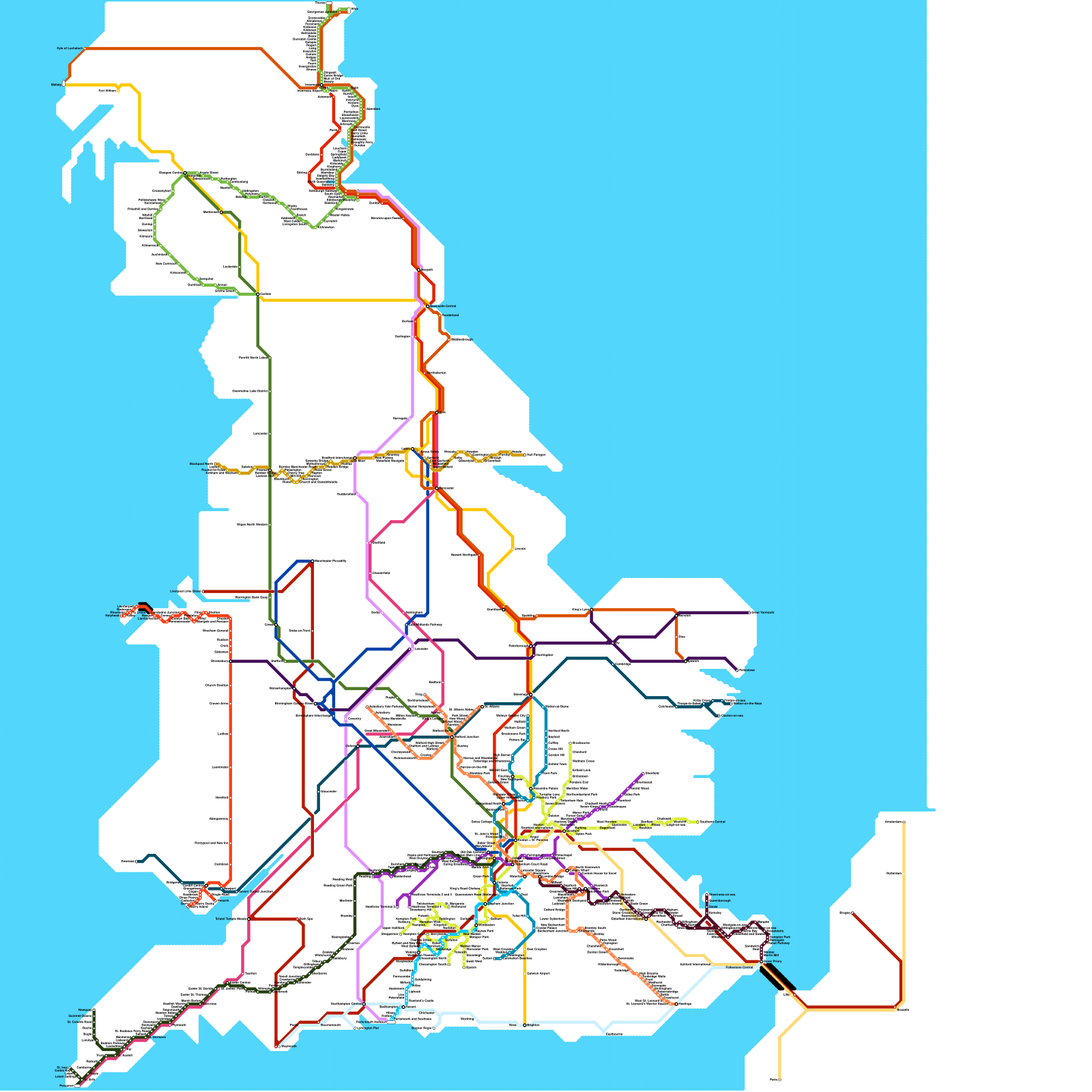
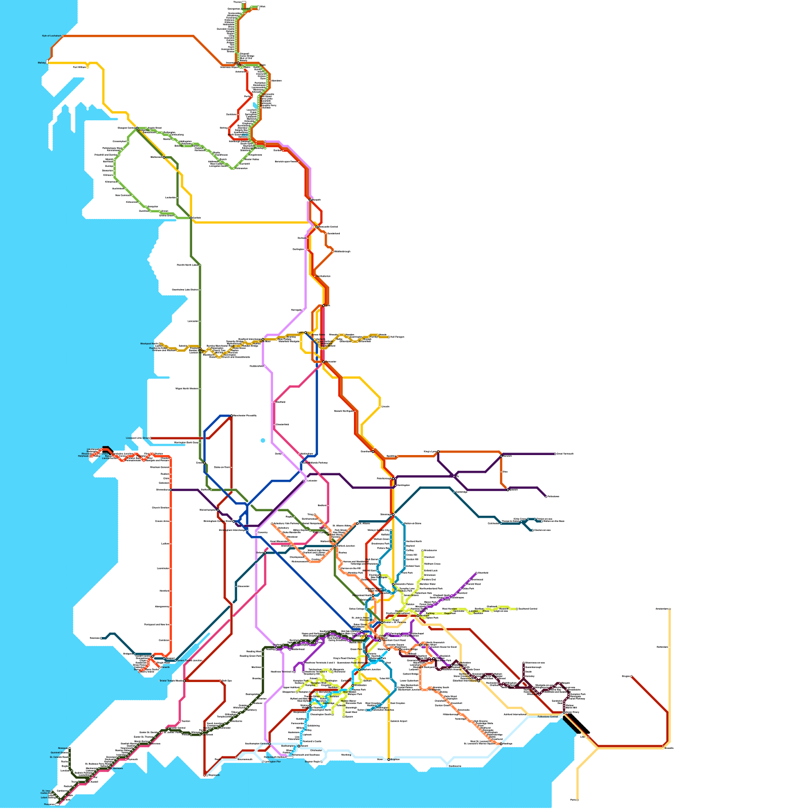
4,421 Maps of London
Stations: 995
Size: 360
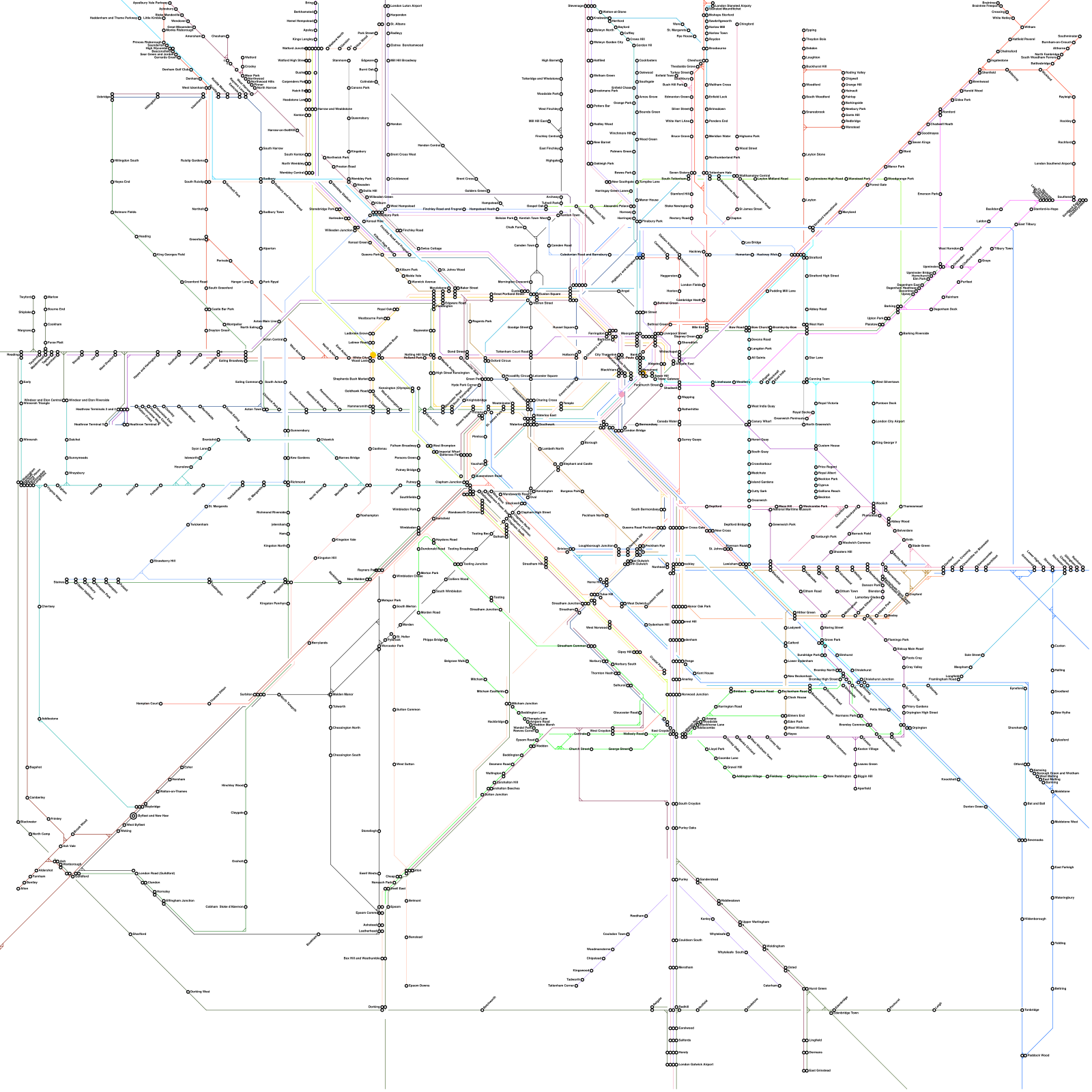
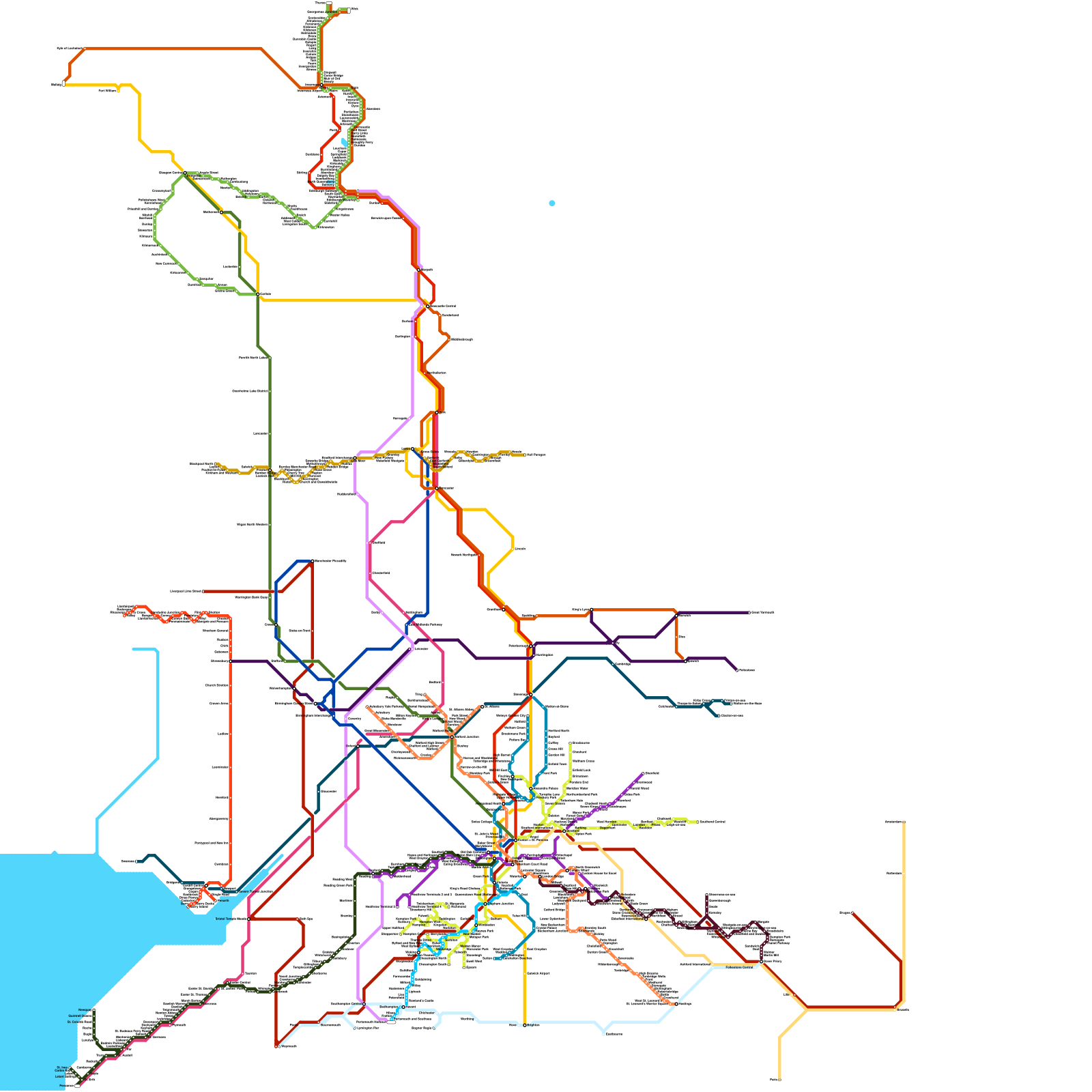
Stations: 969
Size: 360
Stations: 420
Size: 240
Stations: 44
Size: 80
Stations: 688
Size: 360

Stations: 13
Size: 80
Stations: 447
Size: 200
Stations: 536
Size: 200
Stations: 865
Size: 240
Stations: 864
Size: 240
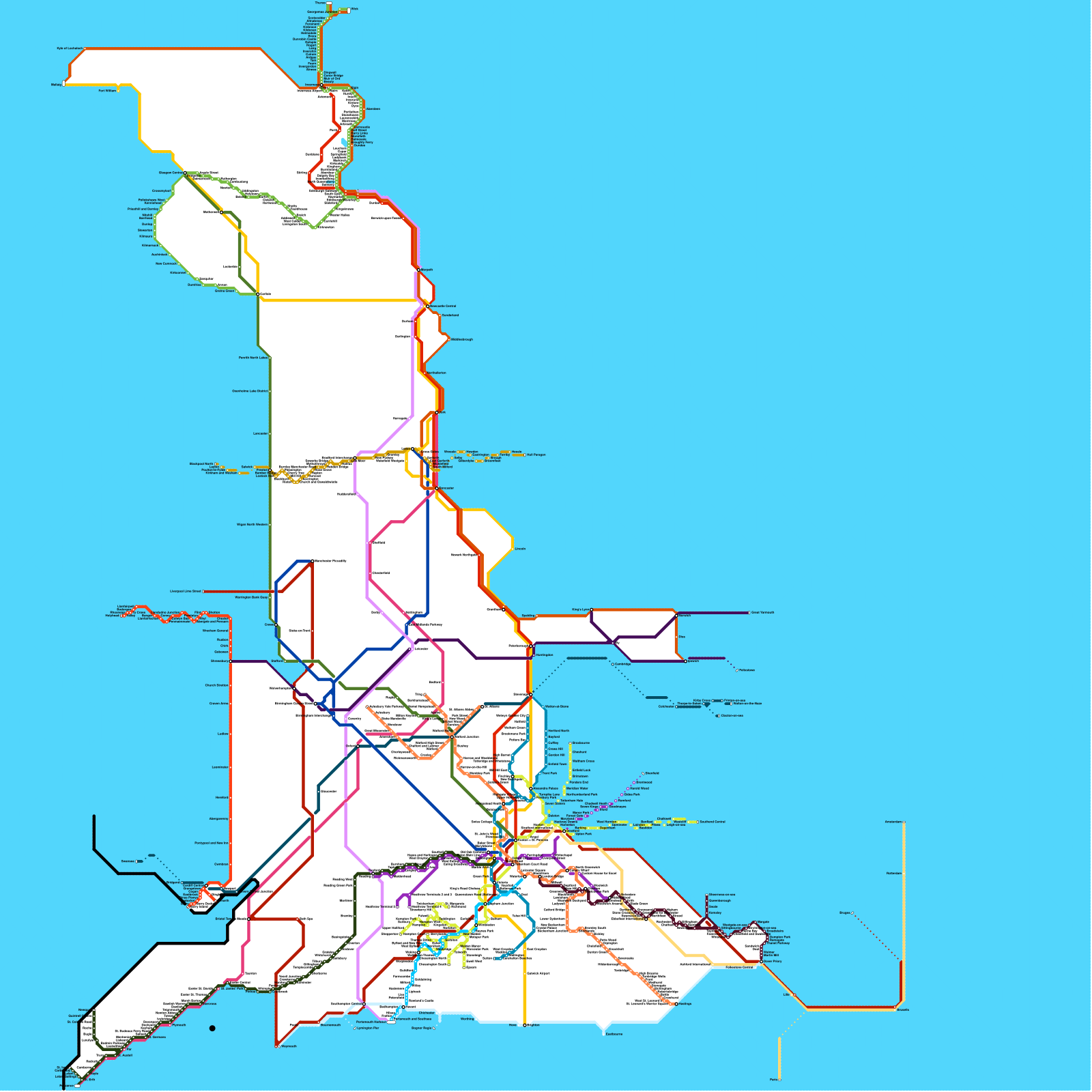
Stations: 919
Size: 360
Stations: 454
Size: 360
Stations: 271
Stations: 442
Size: 200

Stations: 99

Stations: 52
Stations: 919
Size: 360
Stations: 138
Size: 120

Stations: 502
Size: 240

Stations: 742
Size: 360

Stations: 98
Size: 160
Stations: 2
Size: 80

Stations: 24

Stations: 30
Size: 80
Stations: 201
Size: 120
Stations: 201
Size: 120
Stations: 193
Size: 120

Stations: 67
Size: 120

Stations: 52
Size: 80

Stations: 31
Size: 80

Stations: 194
Size: 120
Stations: 442
Size: 200

Stations: 742
Size: 360
Stations: 742
Size: 360
Stations: 742
Size: 360
Stations: 742
Size: 360
Stations: 189
Size: 120
Stations: 182
Size: 120

Stations: 742
Size: 360
Stations: 752
Size: 360
Stations: 763
Size: 360

Stations: 35
Size: 80
Stations: 642
Size: 360
Stations: 642
Size: 360
Stations: 642
Size: 360
Stations: 642
Size: 360
Stations: 641
Size: 360

Stations: 642
Size: 360
Stations: 932
Size: 240
Stations: 642
Size: 360